| Print Date: Jul 22 2015 | Country: |
| Description Date: Feb 24 2014 | State: Utah |
| Describer: Keith Crossland | County: San Juan |
| Site ID: S2014UT037001 | MLRA: 35 -- Colorado Plateau |
| Site Note: | Soil Survey Area: UT633 -- Canyonlands Area, Utah - Parts of Grand and San Juan Counties |
| Pedon ID: S2014UT037001 | Map Unit: |
| Pedon Note: | Quad Name: |
| Lab Source ID: KSSL | Std Latitude: |
| Lab Pedon #: 14N0343 | Std Longitude: |
| User Transect ID: | |
| Soil Name as Described/Sampled: | |
| Classification: | Latitude: 38 degrees 15 minutes 5.03 seconds north |
| Soil Name as Correlated: | Longitude: 109 degrees 23 minutes 19.48 seconds west |
| Classification: | Datum: WGS84 |
| Pedon Type: | UTM Zone: 12 |
| Pedon Purpose: laboratory sampling site | UTM Easting: 640981 meters |
| Taxon Kind: family | UTM Northing: 4234936 meters |
| Associated Soils: |
| Physiographic Division: | Primary Earth Cover: Grass/herbaceous cover |
| Physiographic Province: Colorado Plateau | Secondary Earth Cover: Grassland rangeland |
| Physiographic Section: | Existing Vegetation: blue grama, fourwing saltbush, purple threeawn |
| State Physiographic Area: | Parent Material: |
| Local Physiographic Area: | Bedrock Kind: sandstone |
Geomorphic Setting: on tread of structural bench
on tread of plateau | Bedrock Depth: |
| Upslope Shape: convex | Bedrock Hardness: |
| Cross Slope Shape: convex | Bedrock Fracture Interval: |
| Particle Size Control Section: 25 to 100 cm. | Surface Fragments: |
| Description origin: NASIS | Description database: KSSL |
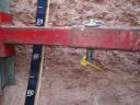
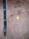
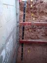
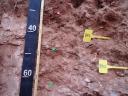
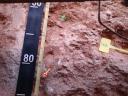
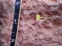
 D13_MOAB_108-162.JPG
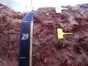